Ras Male Eco City Map 2026: Where Is It Located and How to Get There
The Ras Male Eco City is one of the most ambitious land reclamation and urban development projects in the Maldives. Located near the capital city of Malé, Ras Malé is set to become a major residential and economic hub in the Greater Malé Region. For anyone looking to understand the project, its location, and how to access it, this guide covers everything you need to know.
Where Is Ras Malé Located?
Ras Malé is situated in the Fushi Dhiggaru Lagoon, just minutes away from Malé. Its strategic location makes it ideal for urban expansion while remaining close to the capital’s amenities. Unlike Hulhumalé, which was developed earlier, Ras Malé is designed on a much larger scale, covering 1,150 hectares of reclaimed land.
The city is part of the Greater Malé Region, which includes Malé, Hulhumalé, and nearby islands. Its location allows easy access for commuters and ensures that residents remain connected to the economic and social life of the capital.
Understanding the Ras Malé Map
The Ras Malé map is essential for visualizing the scale and layout of the project. The city is divided into multiple zones for housing, commercial development, public facilities, and green spaces. The planned infrastructure includes:
- Residential districts for up to 65,000 housing units
- Commercial and retail zones
- Educational institutions and schools
- Healthcare facilities and hospitals
- Road networks and transportation links
- Parks and recreational areas
Using the map, residents and investors can identify the location of each zone and track the progress of land reclamation and construction.
How to Get to Ras Malé
Reaching Ras Malé is relatively easy due to its proximity to Malé and Hulhumalé. While the city is still under development, several transportation options are being planned:
- By Road: Future bridges and road links will connect Ras Malé directly to Malé and Hulhumalé, allowing smooth commutes.
- By Ferry: A network of ferries will connect Ras Malé with nearby islands and the capital, providing convenient water transport.
- By Private Boat: For residents and investors, private boats and water taxis will offer flexible travel options.
Once fully developed, Ras Malé will have a modern transport system integrated with roads, ferries, and public transit to facilitate easy movement within the city and across the region.
Why Location Matters for Ras Malé
The location of Ras Malé is strategic for several reasons:
- It is close to Malé, allowing residents to access jobs, schools, and services.
- The Fushi Dhiggaru Lagoon provides enough space for large-scale land reclamation.
- Proximity to Hulhumalé allows integration with existing infrastructure and urban planning strategies.
- Its location makes it suitable for eco-friendly urban planning, including green spaces and renewable energy integration.
Land Reclamation Progress on the Map
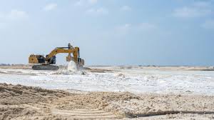
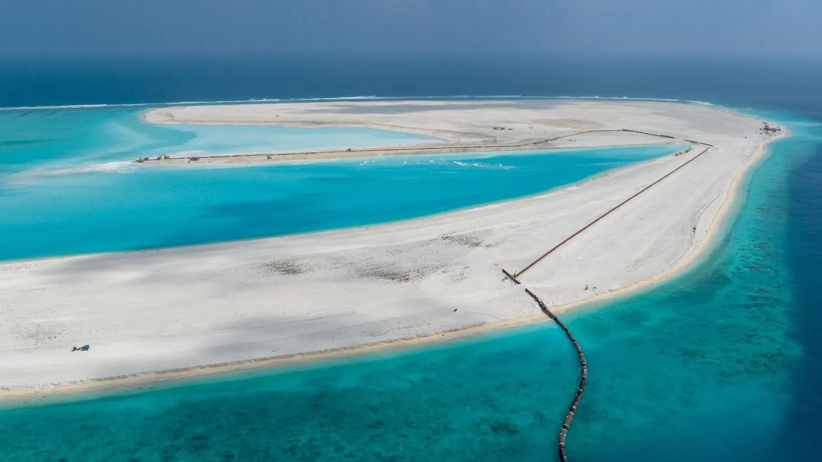
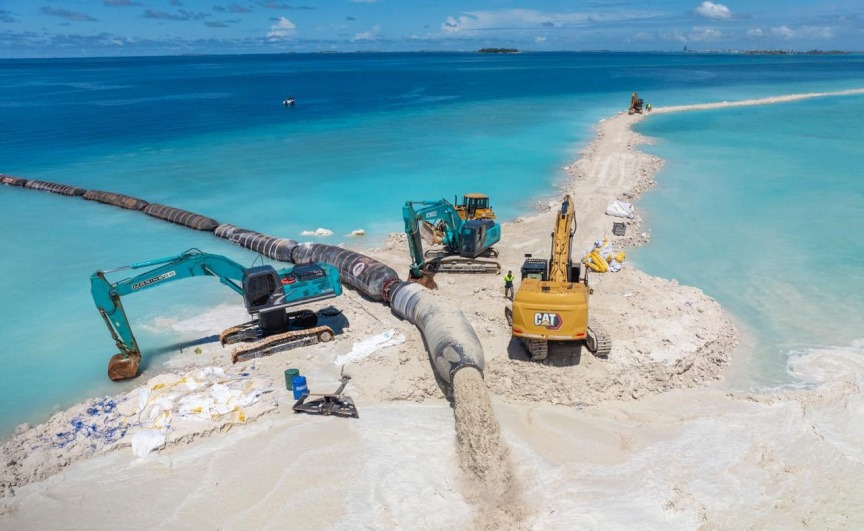
Land reclamation is the first step in the development of Ras Malé. As of the latest updates:
- Total project area: 1,150 hectares
- Land reclaimed: 355.3 hectares (~30.9% completion)
- Remaining land: 794.7 hectares
The map helps visualize which areas are currently reclaimed, which are under development, and which are scheduled for future construction.
Zones and Urban Planning
Ras Malé is designed with multiple functional zones:
- Residential Zone: Housing for 65,000 residents, including apartments, family homes, and mixed-use developments.
- Commercial Zone: Retail outlets, offices, and small businesses to boost the local economy.
- Public Facilities: Schools, hospitals, and administrative buildings for residents.
- Recreational Zone: Parks, sports areas, and public spaces to support a healthy lifestyle.
The map clearly demarcates these zones to make planning, investment, and commuting easier.
Investment and Real Estate on the Map
For investors and potential residents, the Ras Malé map is crucial for identifying prime locations for real estate. Residential districts near commercial hubs or waterfront areas are expected to attract the most attention.
Tracking the map allows investors to follow progress, plan property acquisitions, and assess which areas will become high-demand zones in the future.
Future Transport and Connectivity
Connectivity is a key component of Ras Malé’s urban planning. The city will eventually feature:
- Major road networks linking residential, commercial, and public zones
- Bridges connecting to Malé and Hulhumalé
- Ferry terminals for travel between nearby islands
- Public transportation hubs for buses and water taxis
The map shows proposed transport routes and helps residents understand how they will move within the city once completed.
How the Map Helps Residents and Visitors
Having access to the Ras Malé map provides multiple benefits:
- Understanding city layout and functional zones
- Identifying available housing and commercial properties
- Planning travel routes within the city
- Tracking development progress over time
- Making informed investment and relocation decisions
Conclusion
The Ras Malé Eco City Map 2026 is more than just a visual guide; it represents the blueprint of the Maldives’ largest land reclamation and urban development project. With its strategic location near Malé, extensive reclaimed land, and integrated urban planning, Ras Malé is poised to solve the housing shortage, provide modern living spaces, and support economic growth in the region.
Whether you are a potential resident, investor, or simply interested in the Maldives’ urban development, understanding the Ras Malé map is essential. It shows the future of living in one of the country’s most ambitious projects and highlights the transformative potential of eco-friendly, large-scale urban planning.