Guides & FAQ
Sea Level Rise and the Maldives: Why the Country Is Building Higher Land
Four-fifths of the Maldives is less than a metre above the sea. Here is what the science says about rising seas, why the islands haven't disappeared yet, and why the government is raising new land like Ras Malé two to three metres high.
The Maldives is often described as the world's lowest country, and with good reason. Its islands are made of coral sand sitting on reefs, and most of them barely rise above the sea. That is the background to one of the government's main arguments for Ras Malé: the country needs land that is not only more plentiful, but higher. This guide explains what the science says about rising seas, why the islands haven't disappeared, and why new land is being built the way it is.
In short ⌄
- The Maldives has an average land elevation of about 1.5 metres, and 80% of its land is less than 1 metre above sea level, according to the World Bank.
- Sea level around the Maldives rose by just under 4 mm a year between 1992 and 2015. World Bank projections suggest a rise of 0.5 to 0.9 metres by 2100.
- Many Maldivian islands have kept pace so far, because waves pile reef sand onto them. But reef damage, sea walls and reclamation can stop that natural growth.
- That is why new land like Hulhumalé (about 1.8 to 2 m) and Ras Malé (2 m at the edges, 3 m at the centre) is being built higher than natural islands.
How low is the Maldives?
According to the World Bank's 2024 Country Climate and Development Report, Maldivian land has an average elevation of about 1.5 metres, and 80% of it is less than 1 metre above sea level. NASA has put it the same way: more than 80% of the country's 1,190 coral islands sit less than a metre above the sea.
People live close to the water, too. A World Bank note says more than 40% of the population lives within 100 metres of the shoreline. In a country where the capital is a single crowded island, there is very little higher ground to move to.
How fast is the sea rising?
Between 1992 and 2015, sea level around the Maldives rose by an average of just under 4 millimetres a year, according to the World Bank. That is close to the global rate. Worldwide, the sea has risen about 20 centimetres since 1880, and about half of that rise has come since 1990.
The rate is expected to increase. The World Bank's projections suggest the rate around the Maldives could rise to between 6 and 12 millimetres a year under severe warming, leading to a total rise of 0.5 to 0.9 metres by 2100. A separate World Bank note, drawing on the Intergovernmental Panel on Climate Change (IPCC), gives central estimates for 2100 of about 0.56 metres under a lower-emissions pathway and 0.77 metres under the highest-emissions pathway.
Those figures sound small next to an island a metre high, but the averages hide the real danger. Floods come from high tides, storm surges and big swells arriving on top of the higher sea. The World Bank estimates that without adaptation, coastal flooding could damage up to 3.3% of the country's total assets by 2050.
The World Bank also says confidence in the exact future impacts for the Maldives is low, partly because they depend on how much the world cuts emissions. Some recent studies suggest rises larger than the older IPCC ranges.
Why haven't the islands disappeared?
A common question is why, if the sea is rising, the Maldives is still above water. The answer is that coral islands aren't fixed. They are piles of sand and coral fragments made by the reef around them, and waves keep moving that material, sometimes adding it to the island.
The World Bank reports that between 2004 and 2016, only 3% of Maldivian islands had a net loss of land, while 59% gained area and 38% stayed stable, partly through natural accretion and partly through reclamation. A 2023 study of 49 Maldivian islands between 1969 and 2019 found that more than half had grown. Research elsewhere has shown that reef islands can build upwards as the sea rises, as long as the reef keeps supplying sand.
That condition is the catch. Natural growth depends on healthy reefs. Coral bleaching, pollution and damage to reefs reduce the supply of sand. And human changes can stop the process altogether. A 2019 study found that sea walls and land reclamation had pushed more than a fifth of inhabited Maldivian islands past what the authors called an "anthropogenic tipping point", beyond which they can no longer adjust naturally.
Lessons from Malé: the sea wall
The capital has already had a taste of what the sea can do. In 1987, exceptionally high waves struck the Maldives and caused more than US$6 million in damage. Japan then funded detached breakwaters off Malé's southern shore, built between 1987 and 1989, followed by sea walls around the rest of the island. According to the Japan Society of Civil Engineers, the whole Malé seawall project was completed in 2002.
It was tested two years later. When the Indian Ocean tsunami struck on 26 December 2004, about two-thirds of Malé was flooded, but there were no reports of deaths or injuries in the capital, which the project's engineers credit to the sea wall. The wall shows both sides of hard protection: it saved lives, but it also fixed Malé's shoreline in place, leaving no beach to absorb waves and no room to grow except by making new land elsewhere.
The country's vulnerability has also been a theme of its diplomacy. In October 2009, President Mohamed Nasheed held a cabinet meeting underwater, off the island of Girifushi, where ministers in scuba gear signed a call for deep cuts in global emissions ahead of the Copenhagen climate summit.
The options for adapting
The World Bank groups the choices for the Maldives into five broad types:
- Protection: sea walls, breakwaters, groynes and other structures to hold back the sea.
- Accommodation: building in ways that can live with water, such as on stilts or floating.
- Nature-based solutions: restoring coral reefs and planting mangroves, which reduce wave energy.
- Island raising and land reclamation: making new land, or raising existing land, above the expected flood levels.
- Relocation and migration: moving people to safer places, within the country or beyond it.
In practice, the Maldives relies mostly on the first and fourth. The World Bank found that more than three-quarters of the 188 inhabited islands have had some form of widening, raising, sea wall, breakwater or groyne. Between 2004 and 2016, 47 inhabited islands carried out coastal protection works, and 45 of them used hard "grey" structures. Between 2000 and 2016, about 10 square kilometres of land were reclaimed, roughly 3% of the country's land area.
The World Bank estimates the cost of adapting to sea level rise and flooding alone at US$2 billion to US$4 billion, using solutions tailored to each island.
Why new land is built higher
Most land reclaimed in the Maldives in the past was made for space, not safety, and wasn't raised above the level of the original islands. That has changed with the big projects around the capital.
- Hulhumalé, begun in 1997, was designed with future sea level rise in mind. The World Bank says it was raised to about 1.8 metres above mean sea level, and NASA describes it as about 2 metres high, roughly twice the height of Malé.
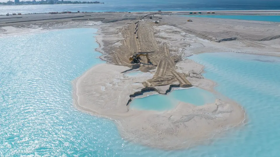
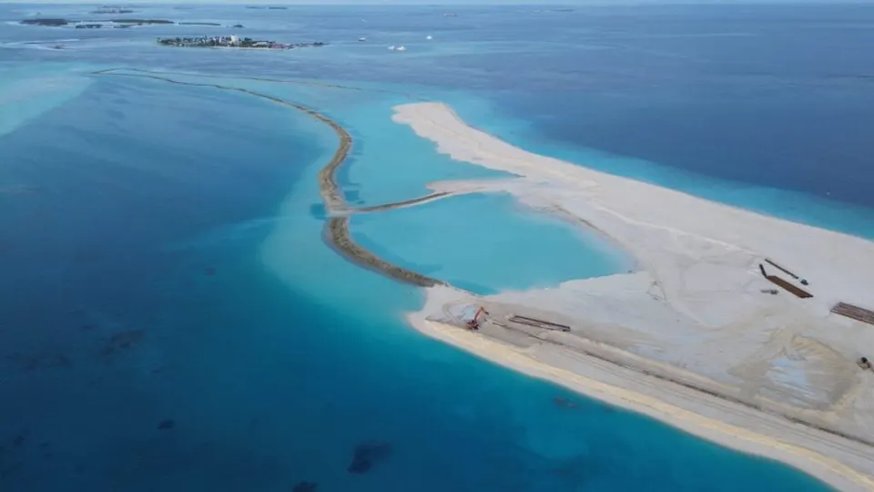
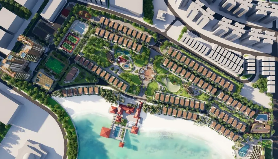
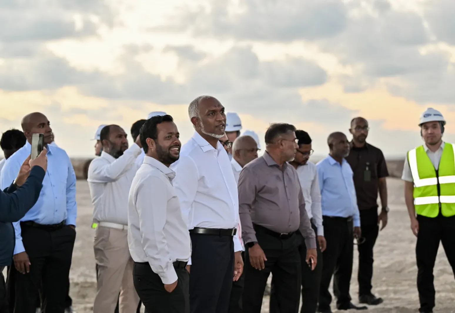
- Ras Malé is going further. HDC says the land is being raised to about 2 metres at the edges and 3 metres at the centre. When the President launched the project in 2023, he said the extra height was to make the city resistant to climate change.
Higher land buys time. If the sea rises by 0.5 to 0.9 metres by 2100, land at 2 to 3 metres still has a margin for storms and high tides that a 1-metre island doesn't. It also gives the country a place to move people if smaller, lower islands become harder to live on.
The trade-offs
The World Bank is clear that island raising and reclamation can reduce risk but can also create new problems. Reclamation buries lagoons and reefs, the very features that produce sand and protect islands, and dredging sand from elsewhere disturbs the seabed and spreads sediment. Hard sea walls can protect one shoreline while starving another of sand.
That is the tension at the heart of Ras Malé. The government calls it the country's largest climate adaptation project. Fishermen, divers and environmental campaigners point to the sediment plumes, damaged reefs and lost bait grounds that come with it. Our report on Ras Malé's environmental impact sets out both sides, and our guide to how land reclamation works explains the engineering.
What the World Bank recommends
Among its recommendations, the World Bank says the Maldives should:
- build sea level rise, flooding and ocean warming scenarios into national and island development plans;
- develop guidelines for island raising and land reclamation, to make new land more resilient and limit environmental damage;
- study the side effects of hard coastal protection, and preserve the natural features that protect islands.
What it means for Ras Malé's residents
For families who get a plot or flat in Ras Malé, the extra height means a lower flood risk than on most islands in the country, now and for decades to come. It doesn't remove every risk. Storms, drainage, the quality of shore protection and the long-term health of the surrounding reefs will all matter. Our guide to Ras Malé's eco-city plans covers what the government has promised on climate resilience, and what is still only on paper.
Questions people ask
How high above sea level is the Maldives? ⌄
How much will sea level rise in the Maldives? ⌄
Will the Maldives disappear? ⌄
How high is Ras Malé being built? ⌄
Sources
- Country Climate and Development Report: Maldives, Executive Summary · World Bank, 2024-06
- Sea-level rise and coastal changes in Maldives · World Bank, 2024-10
- Climate Risk Country Profile: Maldives · World Bank and Asian Development Bank
- Preparing for rising seas in the Maldives · NASA Earth Observatory, 2021-04-09
- If sea levels are rising, why are the Maldives still above water? · Science Feedback, 2025-03-28
- Rasmalé · Housing Development Corporation
- Fushidhiggaru reclamation begins; 'Ras Male an example to world' · Atoll Times, 2023-12-18
- Malé Seawall Project (Maldives) · Japan Society of Civil Engineers
- Underwater Cabinet Meeting in the Republic of the Maldives · Environment & Society Portal